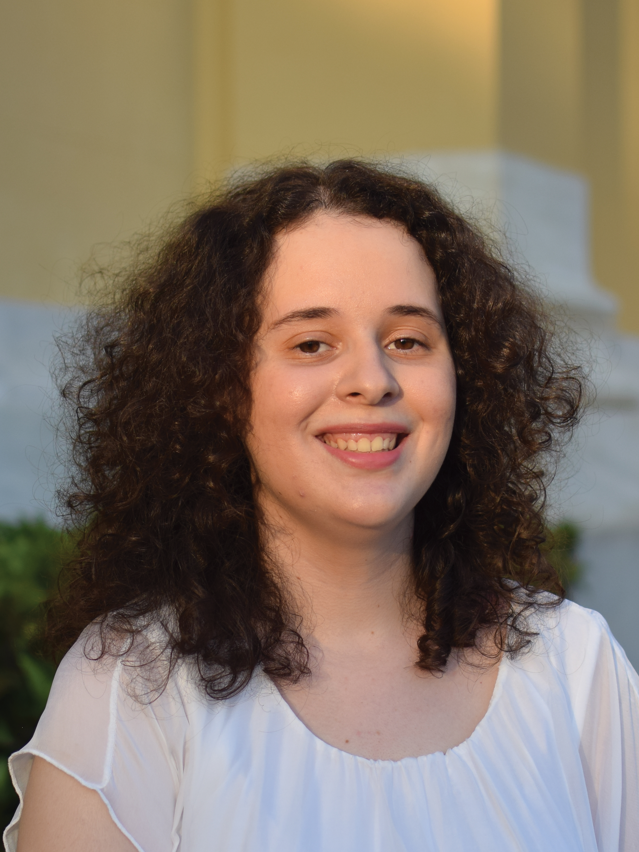
Evdoxia KARAFERI
Karaferi Evdoxia was admitted to the School of Civil Engineering of NTUA in 2014 and completed her studies in 2019 with major in Structural Engineering, receiving the Diploma of Civil Engineering NTUA. Her thesis entitled “Strengthening of steel and angle members with reinforced polymers FRP” was prepared under the supervision of Mr. I. Vayas, Professor of the NTUA. She also has a MSc in Analysis and Design of Earthquake Resistant Structures from the same university (2020).She is a PhD candidate since 2020 on the assessment of the environmental hazard risk in areas of cultural heritage under the supervision of Dr. D. Vamvatsikos, Associate Professor of NTUA.
CONFERENCE PAPERS
Now - 2022
Tsarpalis D., Karaferi E., Mohsen K., Vamvatsikos D., Zeppos J. (2024). A Mesoeconomic Resilience Framework For Regional Seismic Assessment Studies. Proceedings of the 18th World Conference on Earthquake Engineering, Milan, Italy.
Abstract | On account that modern societies cannot be built on earthquake-proof infrastructure (e.g., buildings, roads, power supplies), increasing resilience through preparedness and adaptation measures is the state-ofart approach to reduce severe consequences to core community functions. From an economic standpoint, the impact of a disaster can be discretized into two parts: (i) the direct losses, which comprise the cost needed to repair/replace the damaged/destroyed assets and (ii) the indirect losses, which are related to the reduction of gross valued added during the post-event period. Currently, most regional risk assessment studies are focusing on the evaluation of the direct losses, either ignoring the indirect part or using qualitative approaches to coarsely assess its impact. In support of risk assessment and crisis mitigation planning, a meso-scale economic resilience framework is proposed that allows a quantitative estimate of indirect loss in tandem with conventional direct loss assessment. The model is based upon a sector-wide approach, in which the individual businesses operating within the community are aggregated into compact sectors. Subsequently, the postevent performance of each sector is assessed using three indices, (a) the infrastructure index to measure the reduced productivity of a sector due to direct infrastructure damages, (b) the input index to propagate disruptions in the supply chain by employing Vendor Dependence Tables, and (c) the output index to reflect the reduction of demand due to disruptions (a) and (b). The model is designed to accommodate the salient characteristics of modern urban societies, addressing complex socioeconomic aspects such as the adaptive behaviour of residents and visitors, and the capability of a sector to redistribute business traffic within or outside the community. The methodology is demonstrated in the historical city of Granada in Spain, using three hypothetical earthquake scenarios of incremental intensity and impact.
[paper]
Denaro S., Valerio C., Bussi G., Faga E., Karaferi E., Tsarpalis D., Vamvatsikos D. (2024). Financial Risk Management For Earthquake Disaster: A Case Study Of Rhodes And Granada. Proceedings of the 18th World Conference on Earthquake Engineering, Milan, Italy.
Abstract | A comprehensive disaster risk management strategy is crucial for mitigating the impact of earthquakes and safeguarding valuable cultural heritage. This study, developed within the EU funded project HYPERION, focuses on the cities of Rhodes and Granada, which possess significant cultural assets subject to seismic hazard. Financial risk management plays a pivotal role in this strategy by enabling resource mobilization for efficient disaster response and minimizing long-term financial consequences. Herein we explore the implementation of ex-ante financing options, which are financial arrangements established before disasters occur, to ensure swift and effective response measures. Ex-ante financing options encompass two main approaches: risk retention and risk transfer mechanisms. Risk retention involves setting aside resources, such as contingency funds or individual/shared reserves, for immediate post-disaster use. On the other hand, risk transfer mechanisms shift financial risk to third parties, such as insurance companies or capital markets. To optimize these financing options, we employ a comprehensive approach known as risk layering, which categorizes risks based on their return periods or probabilities. Risk layering facilitates the strategic deployment of various financial tools for each risk layer, resulting in enhanced efficiency and reduced overall costs of risk financing. The aim is to develop a financial risk management strategy based on risk layering for stakeholders in macro-sectors with shared risk characteristics and synergies. We define three risk layers: (i) low-impact, high-frequency risks, where risk retention measures like contingency or mutual funds are most appropriate; (ii) medium-to-severe risks occurring at lower frequencies, for which risk transfer through parametric insurance is identified as the optimal financial risk management tool; and (iii) very high-impact, highly infrequent risks, requiring risk absorption through financial assistance from the public sector and international donors. To determine the most cost-effective thresholds for each layer and stakeholder macrosector, we employ an optimization approach. By tailoring risk management options to the specific needs of different stakeholders and considering their capacity to absorb risk, our research contributes to effective disaster financial risk management for earthquake-prone areas.
[paper]
Karaferi E., Kohrangi M., Spillatura A., Tsarpalis D., Vamvatsikos D. (2024). Seismic Risk, Direct, And Indirect Losses For The Historic City Of Rhodes. Proceedings of the 18th World Conference on Earthquake Engineering, Milan, Italy.
Abstract | A risk assessment model is developed for the historic city of Rhodes, Greece, with a focus on the buildings, residential and commercial, that are at risk from earthquakes, the main hazard that the city faces. The structural integrity of the buildings of Rhodes is tested under a stochastic event set of spatially correlated ground motion fields. They are generated with the OpenQuake platform via an event-based probabilistic seismic hazard analysis for 10,000 years using the 2020 European Seismic Hazard Model. All commercial or mixed-use buildings are assigned to corresponding lines of business according to census data and expert opinion, while using data from the 2020 European Seismic Risk Model to determine vulnerability functions, and from HAZUS-MH to assess the related downtime. The assessment takes as input the exposure model, the hazard, and the vulnerability of the assets to return the direct and the indirect losses per line of business. This allows the determination of the direct consequences to the city, translated to the economic losses to rebuild or renovate the damaged buildings. Stemming from the direct losses and especially the downtime, a mesoeconomic model is employed to determine the losses caused by business interruption on an event-by-event basis. By thus providing a comprehensive assessment of the risk faced by the city, the model can be used to develop a socioeconomic impact model and support the development of financial mitigation tools.
[paper]
Karaferi E., Vamvatsikos D., Kohrangi M., Spillatura A. (2023). Exposure, Vulnerabilities, and scenario seismic risk assessment for the city of Granada. Proceedings of the SECED 2023 Conference, Cambridge, UK.
Abstract | A model is developed for the seismic risk assessment of the city of Granada, Spain, focusing on the building stock. For its implementation, in-house software is coded in the objectoriented programming language Python. Firstly, the assets of interest, in this case the different buildings, are identified and classified according to the taxonomy of the 2020 European Seismic Risk Model, appropriately customized for the characteristics of the local stock. The exposure
model is created using the geographical position of each building and aggregating them per city block. Seismic hazard is determined via the 2020 European Seismic Hazard Model. An eventbased probabilistic seismic hazard approach is employed, generating a stochastic event set for a 10,000 year investigation period, together with corresponding spatially-correlated ground motion fields via the OpenQuake platform. For simplicity, a single intensity measure is employed to characterize all buildings. Suitable vulnerability functions are selected to calculate loss. Results are obtained per block for the damage of buildings in terms of assigning them to different damage states as well as defining the cost of replacement. The resulting consequences are grouped across different functions and lines of business. The focus is on offering a preliminary determination of the disruption caused by each event in support of socioeconomic impact
modelling within the HYPERION EU project.
[paper]
Tsarpalis D., Karaferi E., Vamvatsikos D., Kohrangi M., Zeppos J. (2023). A socioeconomic model for estimating indirect consequences of earthquake hazards to cultural heritage communities. Proceedings of the SECED 2023 Conference, Cambridge, UK.
Abstract | A socioeconomic model of the residents and visitors (i.e., users) and the local economy (i.e., production and consumption of goods, services, and small businesses) is proposed to simulate the core functions of a cultural heritage community. Given the direct infrastructure damages of an event, as those are derived by vulnerability and hazard assessment, the model is able to quantify the indirect losses per critical business sector as they evolve over time. This is
accomplished by first deriving downtime estimates per sector, propagating the resulting disruptions through the demand-supply chain of the community, and then tracking their eventual recovery. The model is designed to accommodate the salient socioeconomic characteristics of the cultural heritage community, by giving heed to effects such as the adaptive behavior of the site visitors and the occurrence of an adverse event during a high or a low season for tourism. The methodology is finally illustrated and verified on the basis of several earthquake scenarios derived for the historical city of Rhodes, highlighting the potential usage of the tool during risk mitigation planning and post-event decision-making.
[paper]
Karaferi E., Melissianos V.,Vamvatsikos D. (2022). A preliminary urban seismic risk model for the City of Rhodes Greece. Proceedings of the 3rd European Conference on Earthquake Engineering and Seismology (3ECEES), Bucharest, Romania.
Abstract | A first-order model is developed for the seismic risk assessment of the water supply network and the structural integrity of the buildings of Rhodes under spatially correlated seismic loading. For its implementation, in-house software is coded in the object-oriented programming language Python. The water supply network is modelled via a graph theory approach and the vulnerability of the buildings takes advantage of the 2020 European Seismic Risk Model. An event-based probabilistic seismic hazard approach is employed, generating ground motion fields for 10,000 years with the OpenQuake platform. The intensity measures used are the peak ground velocity (PGV) for the water pipelines and Sa(1s) for the buildings.
The close correlation of the two allows the creation of spatially cross-correlated PGV and Sa(1s) values that are otherwise not readily available. Results are obtained, per block, for the percentage of people that have no access to water and for the damage of buildings. This is enough to offer a preliminary determination of the disruption caused by each event in terms of available housing and utilities, in support of socioeconomic impact modeling.
[paper]
Karaferi E.D., Melissianos V.E., Vamvatsikos D. (2022). Simplified Seismic Risk Assessment for the Water Supply Network of Rhodes, Greece. Proceedings of the 3rd International Conference on Natural Hazards & Infrastructure ICONHIC 2022, Athens, Greece.
Abstract | A methodology is developed for the risk assessment of the water supply network of the city of Rhodes under spatially distributed seismic loading. Graph theory is used to implement this methodology by creating in-house software in the object-oriented programming language Python. Multiple seismic events are employed that have been generated with a probabilistic approach for a 10,000 year period using the OpenQuake platform and the 2013 European Seismic Hazard Model. The intensity measure used is the peak ground velocity (PGV). Since a direct generation capability for ground motion fields with spatial correlation is not readily available for PGV, the spatial distribution of the spectral acceleration at a period of 1s was employed, which is strongly correlated
with the ground velocity. Results are obtained for the length of the pipes that will break for each event. The complex topology of the network is efficiently tackled via the graph theory to track which pipes cannot supply water and which need repair. The outcomes of the analysis indicate the percentage of the customers that are left without water in each building block of the city, to assess the population that has no access to water after a destructive event. Finally, curves of the mean annual frequency of exceeding given values of the damaged pipe length and the number of pipe breaks are produced, and the average annual losses are estimated.
[paper]